Skip to content

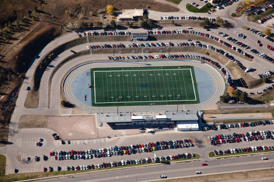
Government & Defense

Meeting your set-aside goals with 25 years of aviation-grade precision and
a proven track record of delivering geo-aligned, FEMA-compliant aerial data that
agencies can act on immediately.

UEI: JSBKCCS15147 | CAGE Code: 7TMA7
SDVOSB Certified | SAM.gov Registered

Credential / Certification

SDVOSB — Service-Disabled Veteran-Owned Small Business
____________________________________________________

VOSB — Veteran-Owned Small Business (SBA Certified)
____________________________________________________

MBE — Minority Business Enterprise
____________________________________________________

DBE — Disadvantaged Business Enterprise
____________________________________________________

FAA Part 107 Remote Pilot Certificate
____________________________________________________

Certified Flight Instructor (CFI)
____________________________________________________

Thermal Imaging Certified
____________________________________________________

GIS-Ready Data Delivery
____________________________________________________

25+ Years Aviation Experience

Strategic Value to Display

Federal set-aside contracting gateway. List CAGE: 7TMA7 | UEI: JSBKCCS15147
________________________________________________________

Secondary trust signal. Use SBA seal visually.
________________________________________________________
Diversity spend compliance for commercial and gov contracts.
________________________________________________________

Transportation/DOT project eligibility. Critical for infrastructure bids.
________________________________________________________

Rare differentiator. Proves deep understanding of National Airspace System (NAS).
________________________________________________________

Opens training/consulting revenue. Positions Ronald as THE regional authority.
________________________________________________________

Qualifies for Industrial Inspection, SAR, and Wildfire contracts — 3x rate of standard photography.
________________________________________________________

All deliverables formatted for Esri/ArcGIS integration. Critical phrase for emergency management contracts.
________________________________________________________

Business is 10 years old — aviation career is 25+. Leads with depth, not just business age.
2ec407c995e1cacd3cf6613d1c914b32
NAICS CODES:
• 541922 — Commercial Photography (Aerial Specialization)
• 541370 — Surveying and Mapping (except Geophysical) Services
• 541360 — Geophysical Surveying and Mapping Services
• 512110 — Motion Picture and Video Production
• 541990 — All Other, Professional, Scientific, and Technical Services

PSC CODES:
• T008 — Photogrammetry
• T009 — Aerial Photographic Services
• T014 — Topography Services
• T002 — Cartography Services
• R404 — Land Surveys, Cadastral Services

CORE SERVICES: 
• Orthomosaic Mapping & GIS-Ready Data Delivery
• Photogrammetry & 3D Modeling for Federal Site Documentation
• Thermal Imaging for Infrastructure & Safety Inspections
• Progress Documentation for Government Construction Projects
• FEMA-Compliant Rapid Damage Assessment 

 
Schedule a Priority Consultation with Pilot Ronald Jarmon
Banner slider4

Construction Site Photography

Custom high-resolution aerial images for construction sites throughout the Southeastern USA. 
 
  • 360-degree perspective of construction sites
  • Image mapping and planning 
  • Topographical and aerial site scanning data can be used in construction management software (Agtek, BIM360, Procore, PlanGrid, and all CAD software)
  • Interior site scanning for documenting building conditions
  • ABC North Florida Member
 
Order Real Estate Photography Now!
277738748 135536689034805 5685970225674888469 n

Drone Photography & Videography for Marketing

Stunning aerial photos and videos with uncompromised quality.
  • Promotional videos
  • Social media marketing
  • Print and digital delivery options
  • Truly comprehensive aerial documentation
Order Real Estate Photography Now!
Drone

Oblique Aerial Photography

Oblique aerial photography using the highest resolution available today.
 
  • Highest resolution digital single lens reflex (DSLR) and medium format cameras
  • Ideal for emergency management, first response, and operations management
  • Essential for use in community planning, mapping for utilities, and property assessment
  • ABC North Florida Member
Order Real Estate Photography Now!
35ab17b540abd7e1aecc8a09587db862 (1)

Progress Photos & Models 

Progress photos and models are great for meetings and monthly reports.
 
  • IA Aerial Photography partners with Nira.app to bring full resolution models to the AEC industry.
  • ABC North Florida Member
Order Real Estate Photography Now!
Vertical photo header 1 (1)

Design Overlays

High accuracy design overlays can have an instrumental impact and can be utilized in several types of projects.
 
  • PT Deck Layout & Documentation
  • MEP Wall Layout QC
  • Slab On Grade Plumbing Penetrations / Layouts Foundation Wall Formwork QC
  • Property and site-specific information
  • ABC North Florida Member
Order Real Estate Photography Now!
iaphotos.com